Monday, September 27, 2010

Accretionary Wedge #27 - Important Geological Experiences

I have no pictures for this one, just the vivid, graphic impressions of a 9-year-old living in Seoul, Korea in 1972. I was already in a foreign land, where the pine trees didn't grow like the pines at home. When I first arrived, at age 7, I went through quite a bit of culture shock, from the smells, the sights, the sounds of Seoul when sewage ran down the streams and there was still no subway. My hair got touched everywhere I went (I was blond as a little girl) and always, crowds of people would gather around me to see the little foreign girl.

After a time I (mostly) got over that, but visits to art museums and palaces with lots of Chinese art always left me with the sarcasm that only a 9-year-old could have: "Mountains don't grow like that!" That thought crossed my mind every time I would see a Chinese scroll or print with these funny tall mountains that didn't have an inverted "v" shape.

That is, until Nixon went to China in February of 1972. Some of the officers who were attaches on the trip were somehow allowed to go to Guilin. And they brought back pictures. And us kids in the 4th, 5th, and 6th grades at Seoul American Elementary School (at the post on Yongsan, for those in the know) were among the first to see them.

It blew my mind that day, that mountains did "grow" that way, that the art I had seen was not all wrong. I looked at those slides with wonder and awe. And they inspired a love of landforms and earth processes I've never lost.

Wikepedia link to Guilin image:

http://en.wikipedia.org/wiki/File:Rio_li_Guilin02.jpg

Saturday, September 25, 2010

Saturday Site Visits, Tecolote Creek Falls

A few weeks ago, after offering advice to a sand and gravel mining company, I got to do a quick side trip to these falls on Tecolote Creek, near Apache Springs, San Miguel County.

We turned off Hwy 84 onto CR B27, for a not unpleasant drive south (this road, even though dirt, provides access for a number of folks living out this way). Took about 10 minutes or so to get to the fall. Views of tires used as small erosional feature bank stabilization and bypassed culverts provided for much humor on the drive.

We were hoping there was still a little flow over the falls, but, as you can see, they were dry.


There were still a few small pools, or tenajas. I've also seen usage of aguaje applied, but don't have a very good translation of that term.

The creek, in this area, loosely follows the axis of the Tecolote Creek anticline (plunges to southeast). In the upstream reaches, the overlying San Andres has eroded away, largely exposing the underlying Permian Glorieta Sandstone. As one follows the axis of the anticline to the southeast, more of the younger formations are exposed. The falls occur pretty much where Tecolote Creek starts eroding through the Permian San Andres limestone, to spectacular effect.
A view looking upstream.


A view of the top from below. I'm looking forward to seeing this when it flows, maybe next spring runoff (if La Nina gives, and we get snow).


Google Earth image.


Portion of the Apache Springs USGS 1:24,000 geologic quad map. Falls are in the southwest center, where the dirt road crosses the creek in the Psa.


Thanks to an unnamed compatriot at arms for showing me this great location.

Monday, September 20, 2010

Culverts 1: A case of the F***its

I'm planning a series on culvert whoopsies that I find along my journeys around the desert southwest. Culverts are a necessity for roads and other short crossings. It is also important that culverts be appropriately sized and placed within/on the substrate. Culverts can also have incredibly damaging consequences on the aquatic environment if improperly sized/placed. Even bad culverts in ephemeral streams can have downstream consequences (via excess sedimentation from erosion, for example). I come across a lot of bad (and some good) examples in my travels and am happy to share them for discussion.

This is a set of culverts on an small, ephemeral arroyo near Apache Springs, NM. Normally, these small (-ish) arroyos only run in response to heavy rain events and when they do flow, they often flow very big. They are characterized by either upland or no vegetation, and in this neck of the woods, are easily erodible.

The landowner, at some time in the past, installed the series of five culverts in an attempt to provide a crossing that would work during inclement weather. You can also see that the culverts have no road base or other roadway material on top of them. It's been eroded over time to the point of being non-functional. If you look to the right of the photo, you can sort of see the ad-hoc at-grade crossing that the landowner has used to bypass the failed culverts. When we drove by, I had my colleague stop and back up so he could see it, as well. We both laughed and said this landowner had a case of the "aww, f***its" with respect to the culvert. It's a pretty common sight, here in the low-income, rural southwest.

Saturday, September 18, 2010

Saturday Site Visits, Folsom Falls on the Dry Cimarron

In June, I had the opportunity to look at a restoration project on the Dry Cimarron River, near Folsom, NM. On the way back, we stop for a quick look at Folsom Falls. I wished I had the chance to stay longer and really hike around the fall for better vantage points, but we had a long drive back to our respective starting points.

Folsom Falls is formed by the Dry Cimarron River flowing over a lip of what Baldwin and Muehlenberger identified as the Baby Capulin basalt of the Raton-Clayton volcanic field (RCVF). The RCVF comprises mostly basaltic to nepheletic cinder cones, andesitic to dacitic necks and domes, and a very cute shield volcano named Sierra Grande (Baldridge, 2004). The RCVF is Pliocene-Quaternary in age, with volcanism commencing around 7.2 Ma and ending with the Capulin eruption around 60ka. RCVF is approximately contemporaneous with the Ocate Volcanic field, about 50+ miles to the west and is on the Jemez lineament, a zone of volcanism extending from the Springer volcanic field in east-central AZ to the RCVF. The Jemez lineament cuts across tectonic provinces, and as such, its origin is not well understood (Baldridge, 2004).

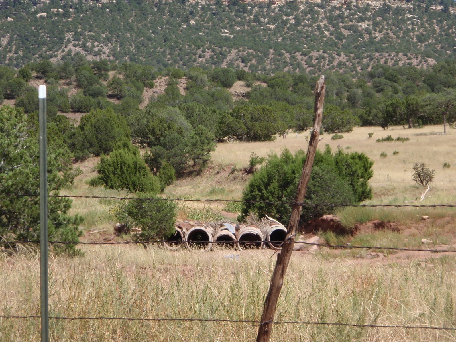
The view above looks south across the falls. The view to the left is looking downstream. The riparian habitat is well-developed, suggesting the surrounding ranchers aren't letting their cows in to graze (yay!). However, the local kids apparently use it as their party spot, judging from the amount of broken glass and other anthropogenic detritus.

I like the area, because it is very reminiscent of my home country in eastern WA, with lots of basalt, grasslands and the occasional hidden ponderosa stand, much like the landscape near Spokane, WA. There's a Spanish word, querencia, for a place from which one draws strength, which tugs at one's heartstrings. This area of New Mexico is definitely one of mine.

Google Earth image of the location.


Baldwin and Meuhlenberger sketch of Folsom Falls stratigraphy.


Link: http://vulcan.wr.usgs.gov/Volcanoes/NewMexico/Capulin/VisitVolcano/framework.html

References:

Baldridge, W. Scott, Pliocene-Quaternary Volcanism in New Mexico and a model for genesis of magmas in continental extension, in, The Geology of New Mexico, a Geologic History, NMGS, 2004

Baldwin, Brewster and Muehlenberger, William R., Geologic Studies of Union County, New Mexico, Bulletin 63, NMBMMR, 1959