Friday, May 7, 2010

A day near Mt. Taylor

I got to spend a day this last week near Mt. Taylor, a composite volcano north of Grants, NM. It was active approximately 3.3 to 1.5 million years ago, and overlies Cretaceous Interior Seaway sediments. The OF-GM-186 for the area is unavailable from the New Mexico Bureau of Geology and Mineral Resources at this time, so its difficult for me to tell you which of the Cretaceous sediments are exposed in my photos, but I do assume they include the Mancos Shale in one of its forms.
Mt. Taylor is sacred to most of the Native American tribes and pueblos in the southwest and much of the surrounding mesa-tops and the mountain itself have recently been designated a traditional cultural property, requiring both tribal and State Historic Preservation Officer consultation for federalized projects.
This designation makes uranium exploration and development more complex on private, state and federal lands. The price of uranium has risen in the last few years, making extraction more economically feasible, but the cost of environmental evaluation, permitting, and consultation must be absorbed into development costs. Though exploration companies may balk at the process, it's the cost of doing business in the area.
As an aside, the uranium source is mostly in the Jurassic Morrison and Todilto formations (Grants Mineral Belt), which do not surface in the immediate area where I was (though there has been considerable exploration, mining and milling on the east side in the past).

Photo 1 is a dome/neck on the southeast side of Mt. Taylor, near Seboyeta.

Photo 2 is the scenic potty view through the junipers. Basalt-capped Chivato Mesa, with Cretaceous sediments below.


I don't have detailed geologic maps for the area (see above), but I'm presuming this is Pt. Lookout with Mancos below?

Looking south from atop the mesa.


Looking east, with the Sandias in the distance.

I used the below websites and the 1991 Field guide to geologic excursions in New Mexico and adjacent areas of Texas and Colorado (Bulletin 137, NMBMMR) as references.

http://geoinfo.nmt.edu/tour/landmarks/mt_taylor/home.html
http://en.wikipedia.org/wiki/Uranium_mining_in_New_Mexico

Wednesday, May 5, 2010

Palm Canyon, CA, June 2005

I don't have a lot of time, but want to post some pix from a hike up Palm Canyon a few years back. I haven't the resources to really say too much about the geology, either, as my references for the area are still packed away. This will have to do. Pictures courtesy of MK, 2005.

One of my favorite places in desert SoCal is Palm Canyon. I first went with the ex on a planning trip for a GSA field trip he was organizing for the Salton Trough and Sierra al Mayor in Baja, way back when. I loved it on that trip, and still do.

In 2005, I had some field work in Coachella Valley, on the Whitewater River. We all had some extra time, so we decided to hike up to Palm Canyon at the end of our work day. It's on the Agua Caliente Reservation, so you have to pay to enter the park, but it's well worth it. The first photo shows the view from the upper parking area northeast towards Palm Springs with the Little San Berdoos in the way background (the thin grey line on the horizon).

This is a waterfall in a side canyon to the main canyon. The stream has carved smooth notches into the boulders making up the canyon walls and floor. As we hiked out from this side canyon, we all felt an earthquake, one of about three that day, if I recollect correctly.
Though it was a pretty warm day out (as summer days in Coachella usually are), it was cool and misty in the side canyon.
The hike up the canyon is spectacular, both geologically and botanically. The palm oases were well-managed as a food, water, clothing, and shelter source for the Coachella Valley tribes (as well as AZ tribes with access to oases). Plant, bird, herp, and insect species pretty much abound. There are a few good references, but Jim Cornett from the Living Desert Museum in Palm Desert, has published quite extensively on the natural history of the Lower Coloradan desert.


Hiking down to the side canyon, just before the earthquake. Palm Canyon is also home to a primary fault in the Santa Rosa Mylonite zone, the Palm Canyon Fault. For about a couple miles or so, as you drive south from Palm Springs to Palm Desert, you can see the deformation of the granodiorite wane as you get closer to the edge of the deformation zone. The fault trends southwest-northeast, and the deformation (if I recollect correctly and please correct me if I misremember) is evident primarily on the southeast side or upper plate.

This side canyon is in the lower plate, and has relatively undeformed geology, as compared to the other side of the canyon.


This speaks for itself. This photo was taken on the main trail, fairly close to the fault. The granodiorites are well-sheared.


Yours truly, gesticulating madly at the surface expression of the Palm Canyon fault. It's pretty beat up, here.

Wednesday, April 28, 2010

Random photos/thoughts from the last 2-3 months

IMHO, this doesn't work as an energy dissipation stucture. One ends up with bale structure material floating downstream for redeposition (and remobilization, and repeat over and over until said bale structure material is either in the ocean or a reservoir).


Mid to late March, looking west at the upper Sangre de Cristos. There was snow down to between 8-9K feet. It's now between 9-10K feet, with bare stone showing on most of the high peaks. Most of the lower snow is now gone, and we've reached, essentially, the early low snow peak runoff. Many of the streams draining the Sangres have reached near bankfull. It's hard to tell what the rest of spring will bring. A hard warm rain on the remaining snowpack will bring a rapid peak; a gradual rise in temp from now til June will slowly melt the remainder. All the folks I talk to prefer the latter. Better for towns with constrained streambanks, better for farmers dependent on acequias to water their fields, better for the riparian habitat to thrive through summer.
Last week, I visited a very overwound meander on El Rito de la Vaca. We all stood around and scratched our heads about what to do, and we included a geologist, stream ecologist/geomorphologist, aeronautical engineer, and local rancher. A fire a few years back resulted in floods that dumped a boatload of sediment in the valley, messing with equilibrium and setting this meander up for an avulsion. This would create some awful problems for the rancher, including wiping out his only access as well as the forest road providing the main valley access. The final result? We said to contact the head of the local watershed group and get recommendations for a good hydrologist skilled in natural channel design work who can carefully evaluate the reach and design an appropriate solution. Maybe the watershed group can come up with a grant project (there's one more overwound meander just like this immediately downstream) to help defray the costs. And yes, it was snowing.
Last, this is the first Persian tulip to flower in my yard this spring. I wasn't in Iran early enough ten years ago to see the native tulips bloom, and haven't had the chance, until this last fall, to plant any. I'm awfully excited that they're blooming and that spring is really, truly finally here.

Thursday, April 22, 2010

Late April Snow, edited


We usually get at least a dusting or two between mid-April and mid-May, but I wasn't quite expecting this much accumulation, at least on the ground (the concrete patio retained enough heat to melt the snow).

It's been quite a hard winter, here in the upper hinterlands of New Mexico. We've probably had between 6-7 feet total over all the storms we've had at the house, since October. The last of that just melted last week. It's been hard on me, on the kid (and even the dog) schedule-wise, workwise, schoolwise, and otherwise. Only the SO has been okay with the long, hard winter we've had this year. But, he's a mountain man, so it's to be expected.

I'm a SoCal girl, though, and these hard winters are equally hard on me. Six months of snow and cold weather is more than enough for me to want to bolt to a warmer clime. But I won't, because I quite like NM, and really can't think of taking my daughter away from what's really her home, now. I can't fathom trying to bring her back to an urban environment and expect her to thrive as well as she is here on our little acre of ponderosa/pinyon-juniper. She's very comfortable in her rural, forested environment. I'm getting there, now that (ahem) the worst of winter is over and I can at least wear sandals occasionally.

I think it would be fine with all of us, really, for winter to be over, and to have the apple trees blossom, the penstemons bloom, and green grass abounding enough to make me sneeze. Even the SO.

The color of a snowy morning at the mesa.

Thursday, April 8, 2010

Spring Runoff - Coyote Creek, NM

On Monday, I had all day meetings in Angel Fire. The drive up was beautiful, as the east side of the Sangres always is. Fortunately, I had enough time on the drive home to stop and take pictures of Coyote Creek reaching bankfull during the spring freshet.

I start at the point where Coyote Creek first crosses paths with Hwy 434,near Black Lake Resort. I'm still trying, sporadically, to figure out the local geology. In a nutshell, 434 traverses Jurassic, Triassic, Permian, Pennsylvanian, and Missipian seds in the south end of Moreno Valley, to (?) Pig-Nog and Quaternary basalts in Guadalupita Canyon, to Precambrian metamorphics on the west side of the Crestone anticline and more JTPPM on the east past Guadalupita, once you get to the flat (more or less). The Crestone is a near-vertical outcrop of JTPPM along one of the main Sangre de Cristo uplift faults, the Romero Fault. It extends from near Guadalupita south to past Las Vegas (the other one) and transitions from the Romero Fault to the Hermit Peak Fault. It's a way cool structural feature of the landscape and characterizes the drive north from LV to Angel Fire, at least for me.

This is where Coyote Creek first encounters 434, one of many xings. We (colleagues and me) think its a Rosgen E in these parts. In most locations (where it hasn't been messed with), it has that classic E shape, with overhanging banks great for the fishes to hide under. [Can you tell I'm not a fish squeezer?]


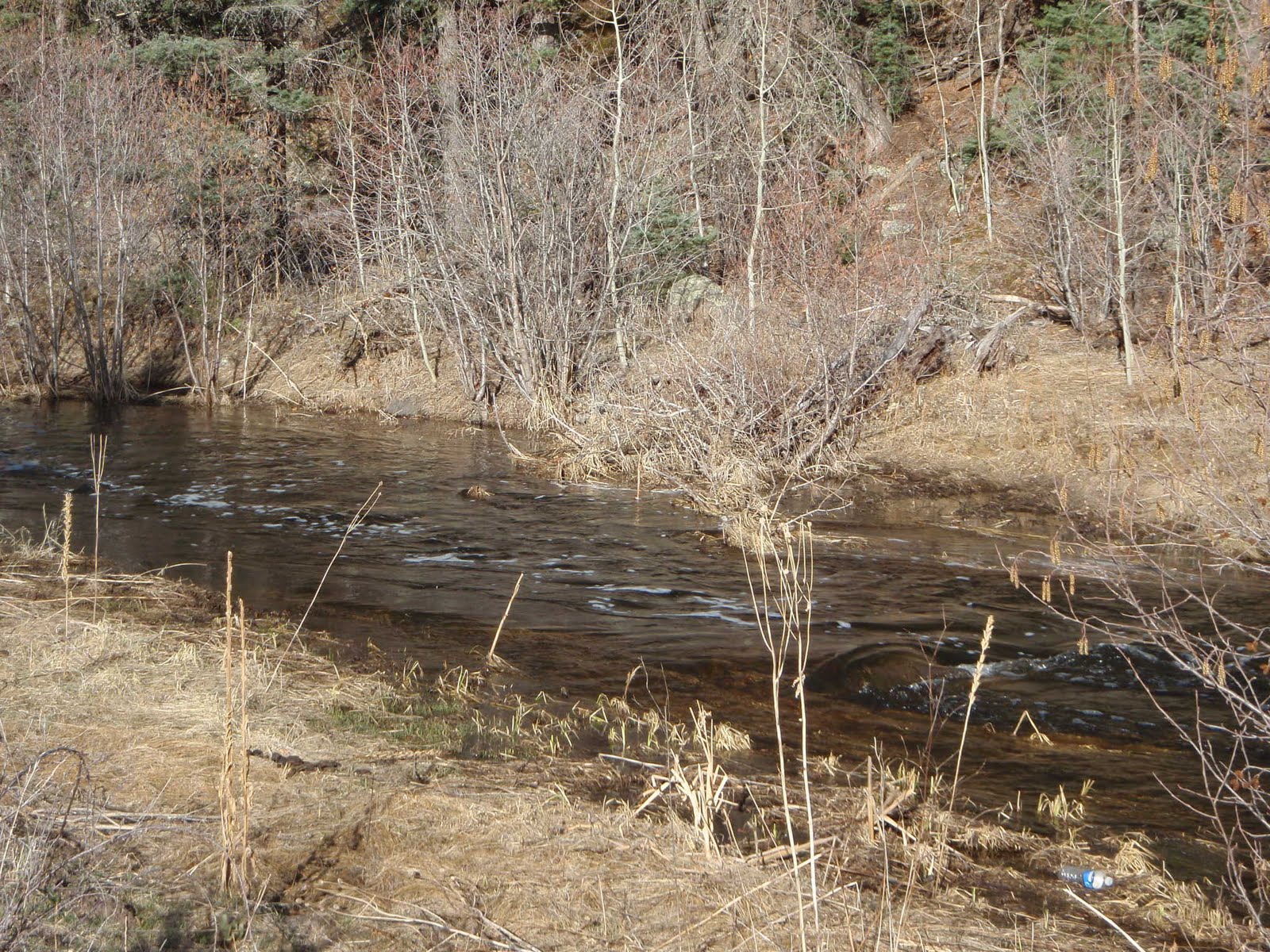
Even with big-ass culverts (in non-scientific parlance), the creek is backing up and flooding.


The other side of the big-ass culvert xing. Channel has a more normal shape. Downstream of this, there's a stocked, dammed pond in the Black Lake Resort property. After the dam, the creek returns to a slightly degraded E, but we're making sure it gets a little TLC.


Between here and the next photo, Coyote Creek starts dropping through the inaccessible canyon, turning into much of a step-pool stream.


After the primary gradient drop, the stream again interweaves with 434. Here, north of the state park, the stream is clearly reaching bankfull. Spring runoff at its best!


Beavers are busy. Still above the park, but right next to the road. If flow increases, NMDOT might have a problem.


Just downstream of the state park, the valley widens (out of the volcanics and into seds on the east). This view shows the extensive willows/wetlands in the valley.


Saying goodbye to Coyote Creek as it goes through a water gap in the Crestone. Not sure of the formation forming cliff in distance. May be Glorieta SS, from map in NMGS 1990 "Tectonic Development of the Southern Sangre de Cristo Mountains." As there's no topography in the map I've been examining, it's difficult to tell.

Saturday, November 14, 2009

Gallinas River at the USGS gage

I got to visit the USGS gage on the Gallinas River recently. This is near Las Vegas, NM, on the east side of the Sangre de Cristos Mountains. Luckily, I recently purchased and have been perusing the NMGS "Tectonic Development of the Southern Sangre de Cristos Mountains, New Mexico", so I actually know a little bit about what I got to see.

West of Las Vegas, the Gallinas River has cut through the Crestone Anticline to expose some of the Precambrian metamorphic and igneous intrusive rocks in an area between the Crestone upstream and west to around Trout Springs. This exposure, and the bedrock-controlled river substrate (an F in Rosgen parlance), make this a great place for a stream gage.

The Precambrian rx have been well-sheared and folded as observed in their exposures along the faulted frontal zone of the Sangres uplift. In the first photo, you can see the gage equipment box, and the folded Precambrian adjacent to it. The picture barely does it justice.

A shot upriver from the gage station. The canyon is steep, with poorly- to-undeveloped riparian areas, clearly due to the lack of flood terraces. This changes immediately downstream of the gage station. Between the road grade and areas of less-cohesive, more mafic, weathered zones (fault splay, maybe? - I don't do structure for a living), the river has a greater ability to form riparian habitat/flood terraces.


Here's a shot of the near-vertical Precambrian with a boudin of felsic material. This is just downstream of the gage, in the canyon wall/roadcut.

A little further down-canyon (east), a well-weathered zone of mafic material interspersed between the more competent rock. The mafic was easily crushed by hand. It's very similar to the exposure of the Romero fault zone near Mora (post to come), so I wondered if there might be fault splays along this stretch. There aren't any noted in the references I have, but this stretch also has restricted access.

I should note that this location is also occupied by northern leopard frogs, petitioned for listing under the Endangered Species Act. The person accompanying me had surveyed for them in the past, and had, with others, determined that the frog occupied adjacent rock pools and wetter zones; habitat much more favorable during lower water years. During freshet or high water years, this habitat would be inundated, lowering the species' ability to reproduce. When the habitat is well-exposed and well-wetted, the species would thrive.

We had a fine time exploring the canyon and discussing the habitat and hydrology drivers. I was heartily reminded of a friend's comment (Josh Collins, who works for the San Francisco Estuary Institute and whose wife was a grad student of Luna Leopold) that habitat occurs at the intersection of hydrology and geology. The Gallinas at the USGS gage is a fine example.

Friday, October 30, 2009

It should be perfectly fine to prove your restoration works...

I recently was made party to complaints regarding regulating agencies, well, regulating.

In this particular instance, the colleague (doesn't work with me, but is in my industry) was complaining about post-construction monitoring requirements being imposed on in-stream restoration projects. They weren't particularly onerous, just some longitudinal- and cross-sections as well as photo-monitoring, with an annual report for three to five years.

I fail to understand why my colleague was upset that he might have to assure the regulators that his project would do what he said it would do. First, any impact, whether beneficial or adverse, is still an impact, and you need to prove to the agencies that what you're doing is appropriate and feasible and won't cause lasting harm. Second, they quite have the authority to place conditions on permits that they issue in order to assure that the impacts are what they call "minimal." Third, restoration projects fail. Sometimes they fail big, sometimes they fail small. Finally, although I've come across some pencil-pushing dorkbutts, most of the regulators I've worked with are fair, consistent, and very concerned about the overall health of resource that I'm proposing to impact.

My recipe for a succesful application and project:

1. Give your local regulators a well-described and depicted project. What's obvious to you is not necessarily obvious to the harried regulator who has 30+ people clamoring for their permits, so you need to make it obvious in your submittal. Quantify the impacts, the need for the project. What's the land use history of the watershed? Why is the stream impaired? Do you have a reference reach that you're trying to emulate? Give them clear, measurable performance standards for your project and tell them when and for how long you will monitor, and tell them when it will be successful. Most agencies have brochures or checklists for complete applications; use them.

2. Be ready and humble enough for all sorts of questions regarding your design and the need for the project. Prepare for potential changes/post-project fixes in your budget and design.

3. Watch your contractors during construction, and put clear damage/non-performance clauses in your contracts. I've heard of contractors driving up and down a narrow stream looking to see how high the splash would go, for a non-profit's fish habitat restoration. I've also seen j-hooks and vanes installed so high that they impeded boats during lower flows. It's not good when your fish habitat project's poor construction really pisses off the fishermen and the regulators.

4. If you have to change design or structure location during construction, tell the regulators. Call them up or email them, tell them what you need to do, and ask if it's okay to keep the contractor mobilized and supply as-builts after construction. If they say no, give them change drawings and ask for a permit modification, ASAP.

5. Do your post-construction monitoring on time. Don't blow it off. If big things happen in the watershed that affect your project, tell them soon afterwards, and include it in your report.

6. If you see that your structure(s) isn't/aren't working, tell them and propose a fix. Make sure your client is aware that sometimes, structures need tweaking and build that into your budget.

Restoration is not an exact science. There's lots of schools of thought (and lots of arguments, too), and no single prescribed method of conducting restoration. If you're prepared to have an honest, humble dialogue with your regulators and give them the information they need to evaluate your project up-front and after construction, you'll likely have a very successful restoration business.